Sabie
Forestry town in the Mpumalanga hills, 64 km west of Kruger, at the centre of a 50 km waterfall route. Mountain biking, trout, river tubing and the Long Tom Pass.

See every place on this map as a list
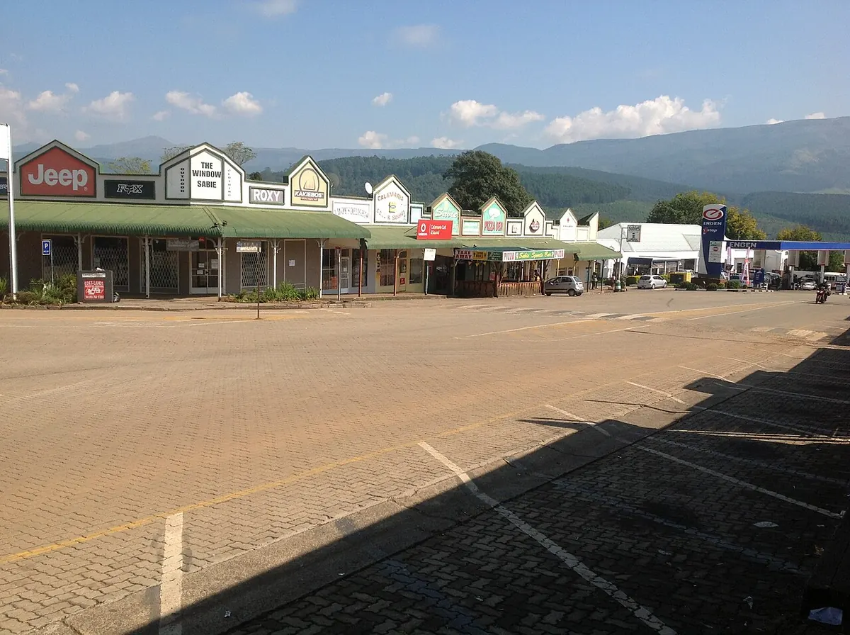
Sabie sits on the Sabie River at about 1,066 m, in the hills below the Drakensberg escarpment, 360 km east of Johannesburg and 64 km west of Kruger National Park. Gold started it, when Glynn and Ingle struck a reef here and formed a mining company, but timber made it. The timber plantations around the town form one of the largest man-made forests in the world. For visitors it is the quieter alternative to Graskop and Hazyview, with waterfalls, trout water and mountain biking.
Getting there
From Johannesburg take the N4 to Belfast, then the R540 through Dullstroom to Lydenburg (Mashishing) and the R37 over the Long Tom Pass, which tops out at 2,150 m before dropping to Sabie. The alternative is the N4 to Mbombela and north through White River. From Hazyview it is a short climb up the hill; Graskop is 28 km north on the R532. There is no useful public transport.
When to go
Summer, October to March, brings warm days, afternoon storms and full waterfalls; it also brings mist on the passes. Winter, May to September, is dry and clear with cold nights, and the falls carry less water. The Long Tom Pass is prone to heavy mist and dangerous in low visibility, so cross it in daylight.
What to do
The Sabie Waterfall Route is a 50 km circuit on the R532 either side of town. South-west of Sabie, Bridal Veil Falls is 6 km out with a steep climb to the viewpoint; Lone Creek Falls is about 10 km out and a 200 m walk from the car park; Horseshoe Falls is down a gravel road. North, towards Graskop, are Mac Mac Falls with a viewing platform, Maria Shires Falls in the forest, Forest Falls on an unmarked trail, and then Lisbon and Berlin falls near Graskop. A sedan copes with all of it. Paths get slippery after rain.
Sabie is a mountain-biking town, with downhill and plantation trails, and the Noon to Moon is a ten-hour relay race held here. Walkers have the 3.2 km Forest Falls circular, the 10 km Loerie Trail and the Fanie Botha Trail of two to five days. Local operators run river tubing on the rapids, kloofing, abseiling and candlelit caving. Trout fishing on the Sabie River needs a permit from town. The Forest Industry Museum, open Monday to Saturday 08:00 to 16:30, explains the plantations, and the Sabie Brewing Company on Main Road makes six beers. Twenty-one kilometres up the Long Tom Pass a monument marks the final deployment of the Boers’ 155 mm Creusot “Long Tom” cannons in the Anglo-Boer War.
Good to know
Sabie is in Ehlanzeni District, which the CDC lists as a malaria area, with Kruger itself rated high risk; ask a travel clinic what to take, particularly if the park is on your route. Logging trucks use the R532 and R37, so give them room. Winter nights are cold at this altitude.
In and around Sabie
14 PLACESPlaces to stay 7
- 25.10°S 30.81°E
- 25.09°S 30.78°E
- 25.09°S 30.78°E
- 25.09°S 30.77°EHotelFloreat Riverside LodgeLydenburg Road
- 25.10°S 30.78°EGuest houseVilla Ticino Guest HouseTrichardt Street
- 25.09°S 30.78°ECampsiteSabie River Camp
- 24.98°S 30.66°EGuest houseTrout Hideaway
Sights 1
- Forestry MuseumMuseum
Fishing spots 1
- Trout HideawayFishing spot
Restaurants and cafes 4
- The Wild Fig TreeRestaurant · african
- SmokeyRestaurant
- The WoodsmanRestaurant