District · Botswana
North-East District
A small rural district of Kalanga country against the Zimbabwe border. Francistown and its gold-rush past, the Domboshaba ruins near Masunga and the main road to Bulawayo.
Short answer
This page covers 1 towns and cities in North-East District.

- Towns and cities
- 1
- Where
- Botswana21.02°S 27.52°E
Towns and cities in North-East District
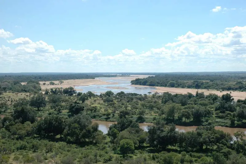
1North-East is the second smallest of Botswana’s rural districts after South-East, 5,120 km² wedged between the Shashe River and the Ramokgwebana, which is the Zimbabwe border. Masunga is the district headquarters. Francistown sits inside it but is counted as a city district of its own, with 103,417 people at the 2022 census against 69,352 in the villages around it. This is Kalanga country. The language is close to Shona and you will hear it more than Setswana. Francistown is where the roads to Nata and Bulawayo split.
Getting there
The A1 runs up from Gaborone to Francistown and carries on about 80 km to the Ramokgwebana border post, with Plumtree on the Zimbabwean side. Buses from Gaborone leave about hourly and take five to seven hours, and there are direct buses on to Bulawayo, Maun and Kasane. The A3 heads west from Francistown to Nata.
Air Botswana flies into Francistown from Gaborone and Johannesburg. The airport is on the western edge of the city. Do not plan around the railway: passenger trains stopped during Covid and had not come back when I last checked.
When to go
Rain falls from November to March, heaviest in December and January. May to September is dry. Winter days reach the mid 20s but July nights average about 5 °C, so camping needs a proper sleeping bag. October is the hottest month, with highs around 33 °C.
What to do
Francistown grew out of southern Africa’s first gold rush. The prospector Karl Mauch publicised gold on the Tati in the 1860s, years before the Witwatersrand, and the town was founded in 1897 beside the Monarch mine. The land was the Tati Concession, granted by the Matabele king Lobengula and only annexed to Bechuanaland in 1911. The Supa Ngwao Museum, founded in 1986, covers this and Kalanga history, and has a craft shop.
Tachila Nature Reserve is 5 km from the centre, on what was a Tati Company farm, Lady Mary.
The stop I would make time for is Domboshaba, in the hills near Masunga. It is a stone-walled settlement from the end of the Great Zimbabwe period (1250 to 1450), spread over more than 8 hectares, with the chief’s enclosures on the hilltop and walls averaging 1.8 m high. On Mantenge hill in the same range is a 7 m deep rock well that is said never to dry. The National Museum looks after the ruins, and a Kalanga cultural festival is held there every year.
Shashe Dam, about 25 km south-west of Francistown, has a sailing club and sport fishing.
Good to know
- The district is a malaria area. The CDC names North-East, Francistown included, and advises tablets.
- Livestock and wildlife stray onto the roads. The UK government calls night driving a particular risk, so do the border run in daylight.
- The UK advice also says violent crime is rising in Francistown, as in Gaborone and Maun.
- The Shashe can flash flood after summer storms.
- The A1 is tar all the way to the border, so an ordinary car does. No 4x4 needed.