Town · Chobe District, Botswana
Pandamatenga
Farming village on the A33 between Nata and Kasane, beside a remote border post into Zimbabwe. Most of Botswana's sorghum grows here, and overlanders fuel up here before Hwange.
Short answer
Pandamatenga is in Chobe District, Botswana. This page lists 2 places to stay and 1 places to eat and drink. The nearest park with an entry fee on this site is Chobe National Park, about 130 km away, where international adults pay from P270.
- Places to stay
- 2
- Eat and drink
- 1
- Park fee nearby: Chobe National Park
- US$20 €18 · P270about 130 km away
- Where
- Chobe District, Botswana18.55°S 25.63°E
In and around Pandamatenga
3 places listedWhere to stay in Pandamatenga 2
- 18.74°S 25.60°ECampsiteAgnes camp site
- 18.54°S 25.63°ECampsitePanda Rest Camp
Restaurants and cafes 1
- Hills RoastCafe
Pandamatenga is a farming village on the Zimbabwean border in Chobe District, along the A33 between Nata and Kasane. The 2022 census counted 2,750 people in the village. Overlanders shorten it to Panda. After a long run of mopane woodland the bush gives way to crop fields, because this is where Botswana grows its grain: the government news agency puts Pandamatenga’s share of the national crop at 47 per cent. Travellers stop for fuel and a bed, or turn east here for the remote border post on the way to Hwange.
Getting there
The A33 is a tarred highway. It runs 300 km from Kazungula down to Nata along the border, through Lesoma and Pandamatenga. A lodge here puts Chobe National Park an hour’s drive away. The village has its own airstrip.
The border post is a short turn off the main road, with Mpandamatenga on the Zimbabwean side. Hours are on our border posts page.
When to go
Rain falls from November to March, and it can come hard. A storm on 21 January 2026 dropped more than 150 mm and put over 8,000 hectares of crops under water. UK travel advice warns that roads can be unsafe in those months.
What to do
The farms are the sight: sorghum, sunflower, cowpeas and beans across some 40,000 hectares, with silos that hold 90,000 tonnes of grain. One farm planted 300 Arabica coffee trees in 2015, which is not a crop you expect up here.
The name goes back to a trading camp. Wikipedia has the trader George Westbeech setting up at Mpandamatenga, across the border, in 1871, and the name is said to mean the tree where trade is done.
Wildtrack Safaris Eco Lodge, with ten thatched suites and a waterhole lit at night, offers game drives, village tours and day trips to the Chobe River, Victoria Falls and Hwange. Self-drivers come for the back way into Hwange: people who have done it enter the park at Robins Camp and carry on to Sinamatella.
Good to know
Kwa Nokeng Oil opened a fuel depot here in 2016, mostly for trucks and farmers, and overlanders fill their tanks at Panda before crossing. In a 2017 forum thread, one regular said he had never been charged duty on fuel here, while another warned that jerry cans can attract it. Declare what you carry.
KAZA.org lists this as a remote crossing with a 4x4 track on to Hwange. One regular on the same forum thread describes the border itself as easy, about 30 to 45 minutes. Do not try the track in a sedan.
Chobe District is on the CDC’s list of malaria areas where tablets are recommended. UK advice rates the risk high from October to May. See a travel clinic before you leave home.
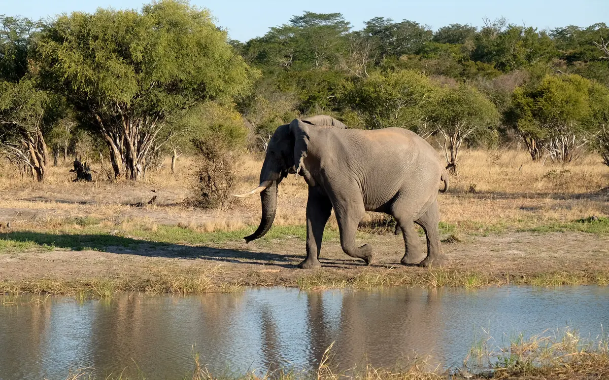
Expect elephants on the A33. Giraffe, sable and buffalo are seen from it as well. The village chief has named elephants among the growers’ troubles. Stray animals are a bigger risk after dark, so drive this road in daylight.
Guides for Pandamatenga
Map of Pandamatenga
See every place on this map as a list