District · Botswana
Southern District
The Bangwaketse country south-west of Gaborone: hilltop Kanye, the Mogonye gorges, Moshupa's balancing rocks and the diamond town of Jwaneng on the Trans-Kalahari road to Namibia.
Short answer
This page covers 2 towns and cities in Southern District.

- Towns and cities
- 2
- Where
- Botswana24.96°S 24.92°E
Towns and cities in Southern District
2Southern District is the country of the Bangwaketse and the Barolong. It runs from the hills south-west of Gaborone to the Molopo River and South Africa, and west into the Kalahari. Statistics Botswana gives it 28,470 km² and 221,968 people in 2022, about eight to the square kilometre. Most overseas visitors only see it through a windscreen on the Trans-Kalahari road to Namibia. The eastern end, close to the city, deserves a day.
Getting there
The A10 links Gaborone with Kanye, the district capital, 83 km south-west of the city. The A2 comes in from the Lobatse side, passes Kanye and carries on west through Jwaneng and Sekoma towards Kang and the Namibian border at Buitepos. Jwaneng is about 170 km from Gaborone and roughly 90 km beyond Kanye.
From South Africa, the A1 crosses at Ramatlabama, on the road from Mahikeng, and Botswana’s main railway line crosses there too.
When to go
The dry season in the south runs from April to October. Winter is early May to late August, when the south catches the cold winds, and Kanye sits at 1,306 m, so pack something warm. Summer rain is what fills the gorges.
What to do
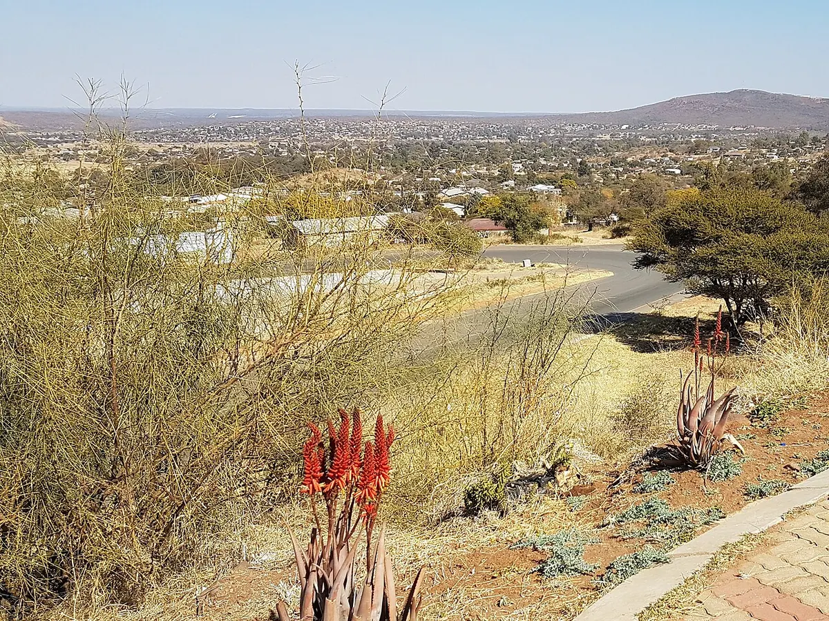
Kanye is spread over a line of hills on the edge of the Kalahari. Makaba, the Bangwaketse chief, settled it in the 1790s and it has been the tribe’s capital ever since. The main kgotla is up on the Ntsweng plateau, and the Kgosi Bathoen II Museum is named for the chief who ruled from 1928 to 1969. Pharing Gorge, said to have been a hiding place in the wars of the 1800s, is by Mmakgodumo Dam.
Mogonye is the best half-day out. Seven gorges cut into the Mmamotshwane Hills 31 km south-west of Gaborone, and the main one, Mmamotshwane Gorge, has a permanent spring. The gate house and campsite, a community project, opened in 2014, and a guide will walk you to the head of the gorge. In winter the flow drops to very little.
Nearby Manyana, on the Kweneng boundary, has rock paintings on five faces along about 750 m of the Kolobeng hills, dated between 1100 and 1700 AD and fenced as a national monument. At Moshupa, enormous boulders balance on the outcrops above the village.
Jwaneng exists because of its diamond mine, found in 1972 and opened in August 1982. Debswana’s Jwana Game Park covers 15,669 hectares of the mining lease and holds about 1,700 animals, white rhino among them. The company’s page gives no visiting times, so phone ahead.
Good to know
- The CDC reports only rare malaria cases in Southern District. It advises avoiding mosquito bites, not tablets.
- All the roads into Kanye are tarred. You don’t need a 4x4 to reach it or Jwaneng.
- Livestock and wild animals stray onto the roads, and the UK government warns the risk is worst after dark.
- The Trans-Kalahari road is a long, uneventful drive. Make sure you have fuel, water and a sound spare tyre for the next leg before you leave town.