Keurboomstrand
Small beach settlement across the Keurbooms River from Plettenberg Bay, with a Blue Flag beach, a river reserve for canoeing and the walk to Arch Rock.

See every place on this map as a list
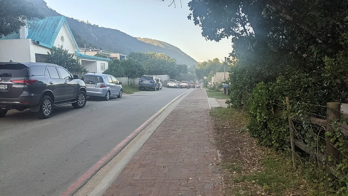
Keurboomstrand is a small, quiet resort village on the far side of the Keurbooms River from Plettenberg Bay, with a few hundred permanent residents and a long sandy beach facing Robberg across the bay. It takes its name from the keurboom tree, which flowers pink and mauve around August and September and again in December. People stay here for the beach and the river while keeping Plett’s restaurants and activities a short drive away.
Getting there
Keurboomstrand is off the N2 east of Plettenberg Bay; Plett Tourism puts the beach about 10 km, or 15 minutes, from central Plett. Plett itself is about 35 km east of Knysna on the N2. Long-distance coaches and the Baz Bus stop in Plettenberg Bay, not here, so you need a car or a transfer for the last stretch. Plett’s own airfield has been closed to commercial flights pending runway repairs.
When to go
The climate is mild and maritime, with mean temperatures between about 12 and 24°C and around 640 mm of rain a year. Southern right whales are in the bay from about July to December and Bryde’s whales all year, so the winter and spring months suit whale watching. Lifeguards are only on duty at the beach in season.
What to do
The main beach holds Blue Flag status. It feels less tame than the town beaches in Plett, though it has toilets, parking and wheelchair access, and there is a restaurant a couple of kilometres along. For a longer walk, park at Enrico’s (once the Singing Kettle) east of the village and follow the sand to Cathedral Rock, also known as Arch Rock, where the sea has cut a big natural arch through the rock.
Close to the beach is the Matjes River Rock Shelter, a national monument where people lived for many thousands of years and left shell middens once about 10 m high. The Portuguese ship São Gonçalo was wrecked nearby in 1630, and its survivors spent months ashore before leaving in boats they built themselves.
The Keurbooms River Nature Reserve, about 8 km past Plett on the N2, covers 740 hectares of river gorge and forest. Canoes can be hired at the gate for day trips, and there is an overnight canoe trail of about 5 km upriver to a riverside cabin, booked through CapeNature. Look for Knysna loerie, giant kingfisher, vervet monkeys and blue duiker. The estuary also holds the Knysna seahorse.
Good to know
Rip currents form wherever waves break, so swim where lifeguards are on duty. Dogs are not allowed on most Plett beaches. Tsitsikamma is about half an hour’s drive east.
In and around Keurboomstrand
41 PLACESPlaces to stay 28
- 34.00°S 23.46°E
- 34.01°S 23.42°E
- 34.00°S 23.41°E
- 34.00°S 23.40°E
- 33.95°S 23.35°E
- 33.99°S 23.46°EHotelTamodi Lodge
- 34.00°S 23.46°EHotelSinging Kettle Beach LodgeMain Street, Bitou Local Municipality
- 34.01°S 23.44°EChaletAbalone Beach House Boutique Backpackers
- 34.01°S 23.44°EChaletAbalone Beach House Boutique Backpackers
Sights 6
- Arch RockViewpoint
- Arch RockAttraction
- Bloukrans Bridge ViewpointViewpoint
- KeurboomstrandBeach
Restaurants and cafes 7
- EnricoRestaurant
- Asado Fire GrillRestaurant · grill · Keurboomstrand
- Asado Fire GrillRestaurant · grill · Keurboomstrand
- Thyme & AgainCafe
- Thyme & AgainCafe
- RiversideRestaurant