Stormsrivier
Forest village just off the N2 in the Tsitsikamma, the base for the Storms River Mouth suspension bridge, treetop zipline tours, the Big Tree and the Bloukrans bungy.

See every place on this map as a list
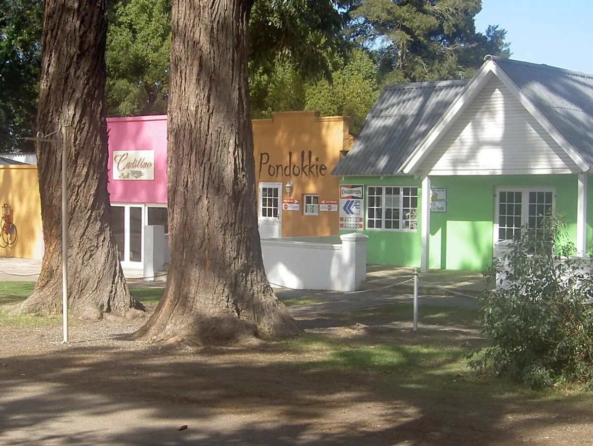
Storms River village (Stormsrivier on the signs) is a handful of streets in the pine plantations and indigenous forest just off the N2, at the Eastern Cape end of the Garden Route. About 1,700 people live here. It exists as a base for the Tsitsikamma section of the Garden Route National Park, and it is easy to confuse with Storms River Mouth, the rest camp on the coast inside the park. The village is where the lodges, the canopy tour office and the forest trails are; the Mouth is where the suspension bridge is.
Getting there
The village is a short turn off the N2, about 180 km from both Gqeberha and George, which have the nearest airports. Coaches stop at a petrol station on the N2 about 5 km away; the Baz Bus comes into the village. The park entrance for Storms River Mouth is about 5 km west along the N2 and then down a long road to the sea, roughly 17 minutes’ drive from the village.
When to go
This is one of the wettest parts of the coast and it rains in every month. Fog and low cloud come in off the sea, and people who have been say the suspension bridge planks get slippery, so pack rain gear whatever the season. December and January are full; the main activities are best booked in advance then.
What to do
From the Mouth rest camp, the 1 km trail along the shore leads to the suspension bridge across the Storms River gorge and on up to the Bakenkop viewpoints. The Waterfall Trail is the first stretch of the Otter Trail and needs a minimum of two and a half to three hours each way on rock; wear proper shoes. Guided kayak and lilo trips paddle under the bridge and up the gorge and take two to three hours.
In the village, Stormsriver Adventures runs the Tsitsikamma Canopy Tour: ten platforms up to 30 m above the forest floor linked by cables, the longest about 91 m, around three hours all in, groups of up to eight and ages roughly 7 to 70. The same company runs the Woodcutters Journey down the old Storms River Pass. The Plaatbos trails (5, 7.8 and 8 km) start at the forestry office in the village, the Ratel trail has loops of 1 to 4.2 km, and the Big Tree, a yellowwood around 36 m high and about 1,000 years old, is a short boardwalk walk from a car park on the N2 east of the village. Bloukrans Bridge, 216 m above the river on the provincial border, has the bungy jump.
Good to know
There is no supermarket to speak of; buy supplies in Plettenberg Bay or Gqeberha. The nearest hospital is at Kareedouw, 40 km away, with the closest private hospital in Plettenberg Bay about 65 km back along the N2. One or two nights is the usual stay.
In and around Stormsrivier
18 PLACESPlaces to stay 13
- 33.97°S 23.88°E
- 33.97°S 23.89°E
- 33.97°S 23.88°EGuest houseMALI Boutique Lodge & Tube 'n Axe Budget AccommodationDarnell St, Stormsrivier+27 42 281 1757Details
- 33.97°S 23.88°E
- 33.97°S 23.89°E
- 33.97°S 23.89°E
- 33.97°S 23.89°E
- 33.97°S 23.89°E
- 33.97°S 23.89°E
Restaurants and cafes 4
- township Kasi CornerRestaurant
- Tsitrus CafeCafe
Bars and pubs 1
- Tsitsikamma Micro BreweryBar