Town · Kweneng District, Botswana
Mogoditshane
Botswana's largest village, joined to the north-west edge of Gaborone on the road to Molepolole. A commuter suburb with 88,004 people in 2022 and a handy base for the capital.
Short answer
Mogoditshane is in Kweneng District, Botswana. This page lists 13 places to stay, 16 places to eat and drink and 1 sight.

- Places to stay
- 13
- Eat and drink
- 16
- Sights
- 1
- Where
- Kweneng District, Botswana24.63°S 25.87°E
In and around Mogoditshane
30 places listedWhere to stay in Mogoditshane 13
- 24.64°S 25.88°EHotelGrand Palm HotelMolepolole Road, Gaborone+267 363 7777grandpalm.bw
- 24.63°S 25.89°EGuest house4bnb bed & breakfastWestern Bypass, Gaborone+267 76 166 821
- 24.62°S 25.88°EHostelHome Plot 2040Nyere Drive
- 24.60°S 25.84°EGuest houseWhite House Guest HouseBlock 5 Mogoditshane
- 24.62°S 25.91°EHostelBed And Breakfast
- 24.66°S 25.87°EHostelBrown's House Block 5
- 24.65°S 25.89°EGuest houseCorner Cottage B&B
- 24.64°S 25.89°EHotelCorner Stay
Show all 13 places to stay
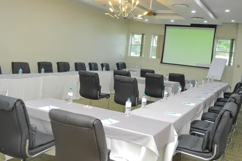
- Kagisong Conference Centre & Lodge · Guest house
- Metcourt Inn · Hotel
- Patido Guest House · Guest house
- Serenity Lodging · Guest house
Sights 1
- Bonnington FarmMonument
Restaurants and cafes 11
- Bai Sheng Chinese RestaurantRestaurant · chinese
- Chinese RestaurantRestaurant · Matlhwatse Crescent
- Chutney's Indian RestaurantRestaurant · indian
- Mokolwane BistroRestaurant · buffet
- The Beef BaronRestaurant · steak house
- Bimbo'sRestaurant
- Chinese RestaurantRestaurant
- Culture Art CafeCafe
- Fig TreeRestaurant
- NandosRestaurant
- RuchiRestaurant
Bars and pubs 5
- Chilly BarBar · Kgame, Gaborone
- DrosBar
- Oh My Space Sport BarBar
- Pool BarBar
- The Lin BarBar
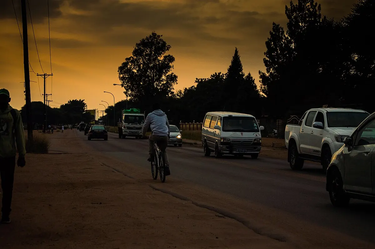
Mogoditshane is officially a village, which is a stretch. The 2022 census counted 88,004 people, more than any other village in Botswana and up from 58,079 in 2011. In 1981 there were about 3,000. It belongs to Kweneng District but sits hard against the north-west edge of Gaborone, and most visitors drive through without knowing they have left the city. Nobody comes for sights. People stay here because it is on the way west and because the capital is a few minutes down the road.
Getting there
Two main roads leave Gaborone through Mogoditshane. The A12 runs north-west to Molepolole, about 50 km on, and that is the way into the Kalahari. The A10 heads south-west through Gabane to Thamaga and Kanye. Work to widen the A10 to a dual carriageway from Mogoditshane to Mmankgodi was planned for 2024 and was held up in 2025, so allow for roadworks on that side.
Sir Seretse Khama International Airport is north of the city. Greater Gaborone gets around by combi (white minibuses on fixed lines) and shared taxis with blue number plates. There are no route maps. Ask the driver.
When to go
The weather is Gaborone’s. Rain falls between October and April, with January the wettest month. Summer days average 32°C. Winter is dry and bright, with days around 22°C and July nights down to 4°C, so pack something warm for June to August.
What to do
Not much in the village itself, and I would not pretend otherwise. The big draw nearby is the Grand Palm on Molepolole Road, a resort with two hotels (the four-star Peermont Walmont and the three-star Metcourt Inn), a casino and the Gaborone International Convention Centre. It gives its address as Gaborone, which tells you how blurred the boundary is.
Football people may know the name from Mogoditshane Fighters, nicknamed The Brazilians, who won the national league in 1999, 2000, 2001 and 2003.
For Kgale Hill, the Three Dikgosi Monument and the game reserve, see our Gaborone page. Heading west, the remains of Livingstone’s Kolobeng mission are about 25 km from Gaborone, off the A10 past Kumakwane.
Good to know
The Botswana Defence Force barracks lie just north-west of the city, on the Mogoditshane side. South African forces attacked them by helicopter on 19 May 1986. Taking photographs near military sites is illegal in Botswana, so leave the camera in the bag along that stretch.
Kweneng is one of the districts where the US CDC reports only rare malaria cases, and Gaborone next door has none. The advice is to avoid bites, with no tablets.
Britain’s travel advice says violent crime is rising in Gaborone and that thieves may target cars waiting at traffic lights. Keep doors locked and bags out of sight on the run in and out of town. Outside the built-up area livestock strays onto the roads, and the same advice says the risk is worst after dark.
If you are driving on into the Kalahari, fill the tank and buy water here or in Molepolole.
Map of Mogoditshane
See every place on this map as a list