District · Botswana
South-East District
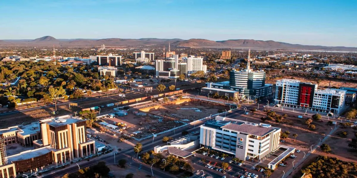
The small district wrapped around Gaborone: Tlokweng and its border post, the Balete capital Ramotswa, and at Otse the vulture cliff and the hill usually named as Botswana's highest.
Short answer
This page covers 1 parks and reserves and 4 towns and cities in South-East District.
- Parks and reserves
- 1
- Towns and cities
- 4
- Where
- Botswana24.99°S 25.73°E
Parks and reserves in South-East District
1Towns and cities in South-East District
4South-East is the small district wrapped around Gaborone, 1,780 km² of hardveld hills between the capital and the South African border. The 2022 census counted 111,474 people, about half of them in Tlokweng, which has grown into the city’s eastern edge. Ramotswa is the district capital. Nobody flies to Botswana for this corner, but if you have a day either side of a flight or a border crossing, the cliffs at Otse and the reserves south of town will fill it.
Getting there
Sir Seretse Khama International Airport is 15 km north of central Gaborone. Coming by road from South Africa, the main post is Tlokweng, about 15 km east of the village and open from 06:00 to midnight. The post at Ramotswa is quieter and keeps shorter hours, 07:00 to 19:00, so don’t count on it for a late arrival.
The A1 is the one road you need. It leaves Gaborone past the dam and Kgale Hill, bypasses Ramotswa (30 km from the capital) and Mogobane, and reaches Lobatse after 70 km. Otse sits beside it on the way.
When to go
Rain falls between October and April and it is erratic. In a normal year the hottest days come in October, just before the rains break. Winter days stay warm but the nights are cold, and Gaborone has dropped below freezing.
What to do
Otse is the reason to drive south. Manyelanong Hill, just south-east of the village, ends in a sheer sandstone cliff where Cape vultures nest, one of only two places in Botswana they use. It has been a game reserve since 1965. The foot of the cliff is fenced and you need permission from the Department of Wildlife and National Parks to go inside. You don’t have to, because the birds are easy to see from outside on most days. Black storks and Verreaux’s eagles have nested on the same cliff.
Otse Hill, at 1,491 m, is usually given as the highest point in Botswana, though the title is disputed. Lentswe la Baratani, west of the village beside the Lobatse road, carries a local legend about two young lovers who went missing on it.
Nearer town, Kgale Hill (1,287 m) is about an hour’s climb on clear paths, with baboons for company and a view over Gaborone Dam. The dam has a yacht club and anglers after bass and bream. Mokolodi has its own page.
Ramotswa is the seat of the Balete, whose kgosikgolo since 2002, Mosadi Seboko, is the first woman to hold that rank in Botswana.
Good to know
The US CDC says there is no malaria transmission in Gaborone, and the UK’s travel health service rates the southern half of Botswana as very low risk, with no tablets advised.
Don’t swim in Gaborone Dam. Bilharzia and crocodiles are both a risk.
Climb Kgale only when other cars are in the car park. Travellers warn of knife robberies when it is empty, and say late afternoon on a weekday is the safe time.
Livestock wanders onto the roads outside town and is hard to see after dark. Summer rain can bring flash floods.
On paper Gaborone and Lobatse are not part of South-East. The census counts each as a district of its own.