Prince Albert
Karoo village at the northern foot of the Swartberg Pass, known for its Victorian and Cape Dutch streets, olives, figs, dark skies and very hot summers.

See every place on this map as a list
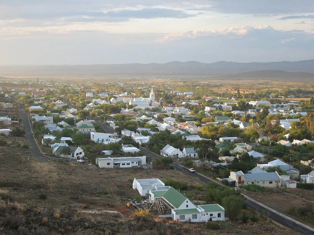
Prince Albert is a village of about 7,000 people on the southern edge of the Great Karoo, at 686 m, where the gravel Swartberg Pass comes down out of the mountains. It began as a loan farm called Kweekvallei in 1762 and was proclaimed a village in 1845, named for Queen Victoria’s husband. Since the mid-1990s artists and retirees have moved in, restored the old houses and opened galleries and restaurants, which has earned it the nickname of the Franschhoek of the Karoo.
Getting there
From the coast the road is the Swartberg Pass from Oudtshoorn (the R328): 27 km of gravel climbing to 1,585 m, built by Thomas Bain in the 1880s and a provincial heritage site since 1988. Allow an hour or more for the pass alone and about two hours from Oudtshoorn. A normal car manages it in dry weather if you go slowly; buses and caravans are not allowed. After heavy rain or snow the pass closes without much notice. It shut on 9 August 2026 for snow, for example, and there is no live online status, so ask your hosts before you leave. The tarred alternative is Meiringspoort via De Rust. From Cape Town and the N1 the turn is at Prince Albert Road. Oudtshoorn is about an hour away in good conditions and the Garden Route coast about two.
When to go
Summer is seriously hot, with average highs of 33 to 35°C, and most people do their walking at dawn. Winter days are sunny and about 17°C but nights drop to around 2°C, with frost and occasional snow on the Swartberg. Autumn and spring are the easy months. Rain is scarce at any time, which is why the night skies are so clear.
What to do
Walk the main street. The village has more than a dozen national monuments in Cape Dutch, Karoo and Victorian styles, and the Fransie Pienaar Museum at 42 Church Street tells the story of the pass and the town. The Saturday market on the village square sells olives, olive oil, dried fruit, figs and cheese from the farms around; Kredouw is one of the olive farms open to visitors and Gay’s Dairy makes the local cheeses. Guided historical walks run by day and a ghost walk by night. The koppie trail above the village lists close to a hundred plant species. Stargazing tours take advantage of the dark.
Drive the pass itself, stopping at the dry-stone retaining walls (one continuous stretch on the southern side runs about 2.4 km) and the summit viewpoint. Gamkaskloof, known as Die Hel, is a long detour off the pass into an isolated valley; ask in the village about the state of the road before you try it.
Good to know
Afrikaans is the first language of over 90 per cent of residents. Low-clearance cars should take the eroded sections of the pass very slowly.
In and around Prince Albert
31 PLACESPlaces to stay 16
- 33.26°S 22.10°E
- 33.23°S 22.03°E
- 33.23°S 22.03°E
- 33.22°S 22.04°ECampsiteOlienhof Camp Site
- 33.23°S 22.03°E
- 33.22°S 22.03°EGuest house81 on Church
- 33.33°S 22.13°EWilderness hutBothashoek Hut
- 33.26°S 22.05°ECampsiteBushman Valley
- 33.37°S 22.18°ECampsiteDe Hoek Mountain Resort
Sights 2
- TeebergViewpoint
Restaurants and cafes 12
- kobus se GatRestaurant · regional
- lah-di-dahCafe · breakfast, burger, coffee shop, ice cream, pizza
- O for OliveRestaurant
- Ou TolRestaurant · pizza
- Cafe Photo AlbertCafe
- Karoo KombuisRestaurant
- Local RootsRestaurant
- The Coffee ShopCafe
- The Green PrinceRestaurant
- The Yellow HouseRestaurant
Bars and pubs 1
- The Irish Bush PubPub