Village · Central District, Botswana
Khumaga
A farming village of about 1,000 people on the west bank of the Boteti, facing Makgadikgadi Pans National Park. The pontoon to the park's western gate leaves from here.
Short answer
Khumaga is in Central District, Botswana. This page lists 6 places to stay and 1 places to eat and drink. The nearest park with an entry fee on this site is Makgadikgadi Pans National Park, about 32 km away, where international adults pay from P190.
- Places to stay
- 6
- Eat and drink
- 1
- Park fee nearby: Makgadikgadi Pans National Park
- US$14 €13 · P190about 32 km away
- Where
- Central District, Botswana20.47°S 24.51°E
In and around Khumaga
7 places listedWhere to stay in Khumaga 6
- 20.43°S 24.52°ECampsiteCamelthorn Farmsteadngwato Ward, khumaga+267 73 968 804camelthornfarmstead.com
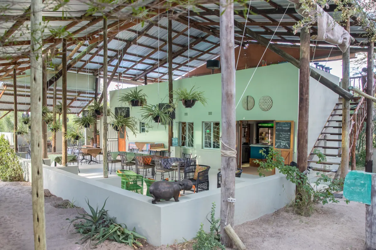
- 20.47°S 24.52°ECampsiteBoteti River Camp
- 20.47°S 24.52°EChaletChalet
- 20.47°S 24.52°EChaletChalet 4 'Mask'
- 20.47°S 24.52°EChaletChalet 5 'Dragonfly'
- 20.47°S 24.52°EChaletChalet Baobab
Bars and pubs 1
- Bar / Reception / ViewBar
Khumaga is a farming village on the west bank of the Boteti River, in the Boteti sub-district of Central District. Also spelt Kumaga and Xhumaga. The 2022 census counted 1,016 people, up from 758 in 2011. Its farmland is on one side of the river and Makgadikgadi Pans National Park starts on the other. Self-drivers cross here to the park’s western gate.
Getting there
Maun is about 140 km away and the road down the Boteti is tar. It is slow tar, with cattle crossing the whole way, so allow more time than the map suggests.
Then comes the river. When the riverbed is dry you drive straight over to Khumaga Gate. When the Boteti flows, a pontoon ferry takes you across. It has run since 2011 and you pay the ferryman, separately from the park fee. A driver who used it in 2013 says it carried one vehicle at a time and took about four minutes a crossing. At very low water it grounds on the sandbanks and stops, and then the only way in is the long way round to Phuduhudu Gate.
When to go
The dry months, roughly June to November, when the herds pile in to drink. The catch is that the ferry depends on the Okavango flood reaching the lower Boteti, and in February 2013 it had not arrived, so the ferry was not running. Ask your camp what the crossing is doing before you leave Maun.
What to do
Cross the river. The park’s Khumaga campsite (ten sites, two ablution blocks, run by SKL) is ten to twenty minutes beyond the ferry, and sandy tracks follow the bank north and south from it.
Outside the park, Boteti River Camp in the village is a Bush Ways lodge that also has small Meru tents and a camping ground, and runs guided drives. Camelthorn Farmstead, a little north, has private campsites with their own bathrooms, five ready-pitched tents, two cottages and a deck over the river where elephants come in. Leroo La Tau, the smart option, stands on cliffs more than 10 metres above the riverbed and runs boat trips when there is enough water.
Elephants for Africa has its research camp on the park bank opposite Khumaga. It studies the bull elephants that moved back when the river returned in 2009 after 18 dry years, and works with local farmers and the primary school on keeping elephants out of crops. Crop raiding here is among the worst in Botswana.
Good to know
You need a 4x4 once you are over the river. Both river roads are very sandy, and so is the track down from Phuduhudu.
Fill up in Maun. Rakops, further down the same river, has a filling station, but drivers say it runs dry, so treat it as a top-up.
The village is close. One regular who camped four nights inside the park says the donkey and cow bells never stop, so do not expect silence on the riverfront.
Stay off the tar after dark because of the livestock.
Boteti is on the CDC’s list of malaria areas in Botswana and it recommends tablets. See a travel clinic before you go.
Map of Khumaga
See every place on this map as a list