Town · Central District, Botswana
Mahalapye
Railway town on the A1 between Gaborone and Palapye, used as a fuel and overnight stop. Shoshong, the old Bangwato capital, is in the hills to the west and the Tropic of Capricorn marker is on the road south.
Short answer
Mahalapye is in Central District, Botswana. This page lists 8 places to stay, 3 places to eat and drink and 1 sight. The nearest park with an entry fee on this site is Khama Rhino Sanctuary, about 99 km away, where international adults pay from P117.2.

- Places to stay
- 8
- Eat and drink
- 3
- Sights
- 1
- Park fee nearby: Khama Rhino Sanctuary
- US$9 €8 · P117about 99 km away
In and around Mahalapye
12 places listedWhere to stay in Mahalapye 8
- 23.11°S 26.83°EHotelLme LodgeMahalapye
- 23.11°S 26.84°EHotelMaeto HotelMahalapye
- 23.09°S 26.85°EHotelCresta Mahalapye
- 23.11°S 26.85°EHostelFlower Town Thato's Place
- 23.06°S 26.85°EHotelSeduda
- 23.09°S 26.85°EHotelSeduda Lodge
- 23.11°S 26.85°EHostelThato's Place Flower Town
- 23.12°S 26.83°EHotelTshidi Guest House
Sights 1
- Watershed MallAttraction
Restaurants and cafes 3
- Barcello's RestaurantRestaurant
- BotokaRestaurant
- kaytees RestaurantRestaurant
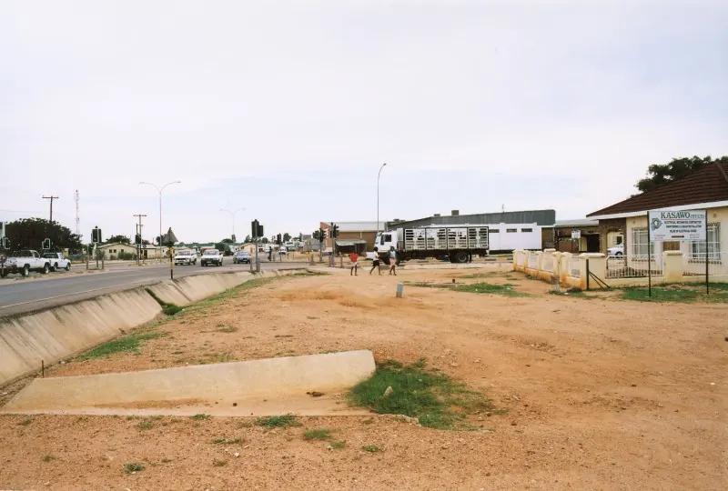
Mahalapye began as a station on the Gaborone to Francistown railway and is now mostly a place where the A1 traffic pulls over. It had three wards in 1922 and 2,453 people in 1946. The 2022 census counted 48,431. Nobody plans a holiday around it. You stop for fuel, a meal and a bed that breaks the long run north, and if you have a spare morning the old Bangwato capital at Shoshong is in the hills to the west.
Getting there
The A1 runs through town. Gaborone is about 200 km south and Palapye 72 km north, with Francistown another 163 km past that. It is tar the whole way and any car will do. A side road goes west to Shoshong, and the B145 heads east to the small Limpopo border post at Parr’s Halt (Stockpoort on the South African side), which shuts at 18:00.
There is a bus station. Botswana Railways keeps its offices on the main road, but its passenger trains are suspended.
When to go
The dry season runs from April to October, and May to August is the cool part of it. Winter nights get properly cold here: the record low is -6°C. Summers are hot, with a record of 41.9°C, and the year’s rain (around 450 mm) falls then. The Mhalatswe, the river through town, is dry outside the rains.
What to do
Shoshong is the one outing I would make time for. It lies about 40 km west, in a valley ringed by hills. Sekgoma I settled the Bangwato there around 1850, and by the 1880s it was a big trading town on the road north. Khama III moved the capital to Old Palapye in 1889 when the water ran short. What is left is a quiet village with its kgotla at the mouth of the kloof and a trader’s store from 1911.
South of town on the A1 you pass the Tropic of Capricorn monument, a group of big stones that name the other countries the line crosses. A survey published in Botswana Notes and Records found it sits some 7 km south of where the line really is. Stop for the photo anyway.
In town itself there is the Water Shed mall, and that is about it. Mahalapye was in the running to be the capital in 1965 and lost out partly over water. President Duma Boko was born here in 1969.
Good to know
- Mahalapye sub-district is on the CDC’s list of malaria areas in Botswana, and it advises preventive tablets.
- Some of the petrol stations stay open 24 hours.
- Do not drive the A1 after dark if you can help it. Cattle and donkeys wander onto the road, and the British travel advice warns about it.
- The Cresta hotel is built for exactly this stopover and has a pool and a restaurant.
Map of Mahalapye
See every place on this map as a list