Agulhas National Park
The southern tip of Africa, where the Atlantic and Indian oceans officially meet: an 1849 lighthouse, a rusting wreck, fynbos trails and a lot of wind.

What you'll pay to enter Agulhas National Park
VALID 01 NOV 2025 TO 31 OCT 2026 · ZAR PER PERSON PER DAY
| Fee | SA residents |
|---|---|
| Daily conservation fee | R61child R30one source |
- Only the South African citizen and resident rate is shown; the SADC and international rates for this period could not be confirmed in two sources.
- Wild Card members do not pay daily conservation fees.
- Child rate applies to ages 2 to 11; children under 2 enter free.
- Figures marked "one source" were found in a single published source only.
- Set by South African National Parks (SANParks). Adult rate shown first, child rate below. Official tariff
CHECKED 06 OCT 2026 · 1 SOURCES
See every place on this map as a list
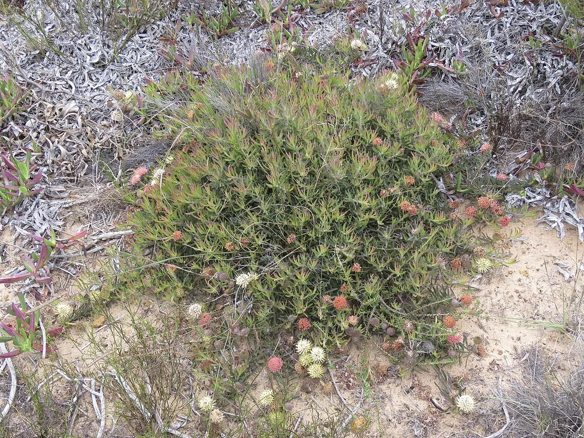
Cape Agulhas, not Cape Point, is the southern tip of Africa, and the line of 20 degrees east that runs through it is where the Atlantic officially becomes the Indian Ocean. Agulhas National Park, proclaimed in 1998, protects about 210 square kilometres of coastal plain between Gansbaai and Struisbaai around that point: low fynbos with some 2,000 plant species, wetlands, rocky shore and a coastline that has wrecked ships for centuries. Most people come as a day trip from Cape Town.
Getting there
The tip is about 200 to 225 km from Cape Town, two and a half to three hours. Take the N2 over Sir Lowry’s Pass to Caledon, the R316 through Napier to Bredasdorp, then the R319 to Struisbaai and L’Agulhas. The park office is at 214 Main Road in Agulhas, open weekdays 07:30 to 18:00 and 09:00 to 17:00 on weekends and public holidays; if you will arrive for an overnight stay outside those hours, phone at least a day ahead.
When to go
This is one of the windiest corners of the country, so pick the day as much as the month. Autumn (March to May) tends to be calmest and clearest. Summer is warm and dry but blows; winter brings the rain. Southern right whales come close inshore roughly from June to November, and spring (September to November) adds flowers to the late whales. Bring a windproof layer in every season.
What to do
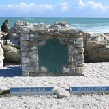
A boardwalk from the car park leads to the stone cairn and plaque marking the southernmost point, with a large relief map of Africa beside it. The red and white lighthouse, lit in 1849 and the second oldest in the country, has a small museum and tearoom and is open daily 09:00 to 17:00, with the last climb up the ladders at 16:30. Two kilometres west along the shore towards Suiderstrand lies the Meisho Maru 38, a Japanese trawler that ran aground in 1982; all 17 crew got off safely and the hull is still rusting in the surf.
Walks link all three. The Rasperpunt trail is a 5.5 km circuit from the wreck, passing ancient stone fish traps in the shallows. Allow three to four hours if you include the lighthouse. The Two Oceans trail is 10.5 km (four to five hours) with 3 km and 4.5 km short versions, and the Spookdraai trail from L’Agulhas takes under three hours at an easy pace. Birders look for African black oystercatcher and Damara tern.
Good to know
- The rest camp has chalets with sea views and fireplaces and the historic Lagoon House for up to eight. There is no camping inside the park; Struisbaai and L’Agulhas have caravan parks and guesthouses.
- The open sea here is rocky with heavy surf. Swim in the Struisbaai lagoon, not off the point.
- Arniston with its sea cave is about 45 minutes away and De Hoop Nature Reserve about 70 km.
In and around Agulhas National Park
12 PLACESPlaces to stay 1
- 34.73°S 19.88°EGuest houseBergplaas Guest House
Sights 7
 Cape AgulhasSight
- Cape AgulhasAttraction
- African Continent MonumentAttraction
- Interpretation CentreMuseum
- The southernmost tip of Africa and the dividing point between the Atlantic and Indian Oceans.Viewpoint
- Wilhelm Schalk BaarsMemorial
Hiking trails 4
- Two Oceans Hiking Trail - Blue routeHiking trail · 3.1 km
- Two Oceans Hiking Trail - Red routeHiking trail · 4.8 km
- Two Oceans Hiking Trail - Yellow routeHiking trail · 10.5 km
- Rasperpunt Hiking TrailHiking trail · 5.2 km