Bontebok National Park
South Africa's smallest national park, 6 km from Swellendam on the Breede River, created in 1931 to save the bontebok antelope from extinction. An easy, predator-free stop on the N2.

What you'll pay to enter Bontebok National Park
VALID 01 NOV 2025 TO 31 OCT 2026 · ZAR PER PERSON PER DAY
| Fee | SA residents |
|---|---|
| Daily conservation fee | R61child R30one source |
- Only the South African citizen and resident rate is shown; no source we could open gave the SADC or international rate for this period.
- Wild Card members do not pay daily conservation fees.
- Child rate applies to ages 2 to 11; children under 2 enter free.
- One travel site (places.co.za) gives R63 per adult (resident) for this period; the figure shown is the one other sources agree on.
- Figures marked "one source" were found in a single published source only.
- Set by South African National Parks (SANParks). Adult rate shown first, child rate below. Official tariff
CHECKED 06 OCT 2026 · 1 SOURCES
See every place on this map as a list
Bontebok National Park is a conservation success you can walk across in a morning. In 1931, with the bontebok down to a few dozen animals on Overberg farms, a park was proclaimed near Bredasdorp with 17 of them. In 1961 the surviving 61 were moved to this better site on the Breede River below the Langeberg, 6 km south of Swellendam. The park is still only 27.86 square kilometres, the smallest in the country, and holds a herd of around 200, roughly what the land can carry. The world population is now a few thousand.
Getting there
Swellendam is about 240 km from Cape Town, two and a half hours on the N2, and roughly 540 km from Gqeberha. Watch for the brown Bontebok National Park sign on the N2; the last 5 km to the Die Stroom gate are gravel, as are all the roads inside, but a normal car is fine. Swellengrebel airfield outside town takes light aircraft only.
When to go
April to October is the pleasant stretch for walking and game viewing: winter days of 15 to 20 degrees, nights below 5, firm paths, few people. The fynbos and renosterveld flower from September to November. Summer, December to March, is hot and the river is the point. Rain comes mostly in winter and the trails can be muddy then.
What to do
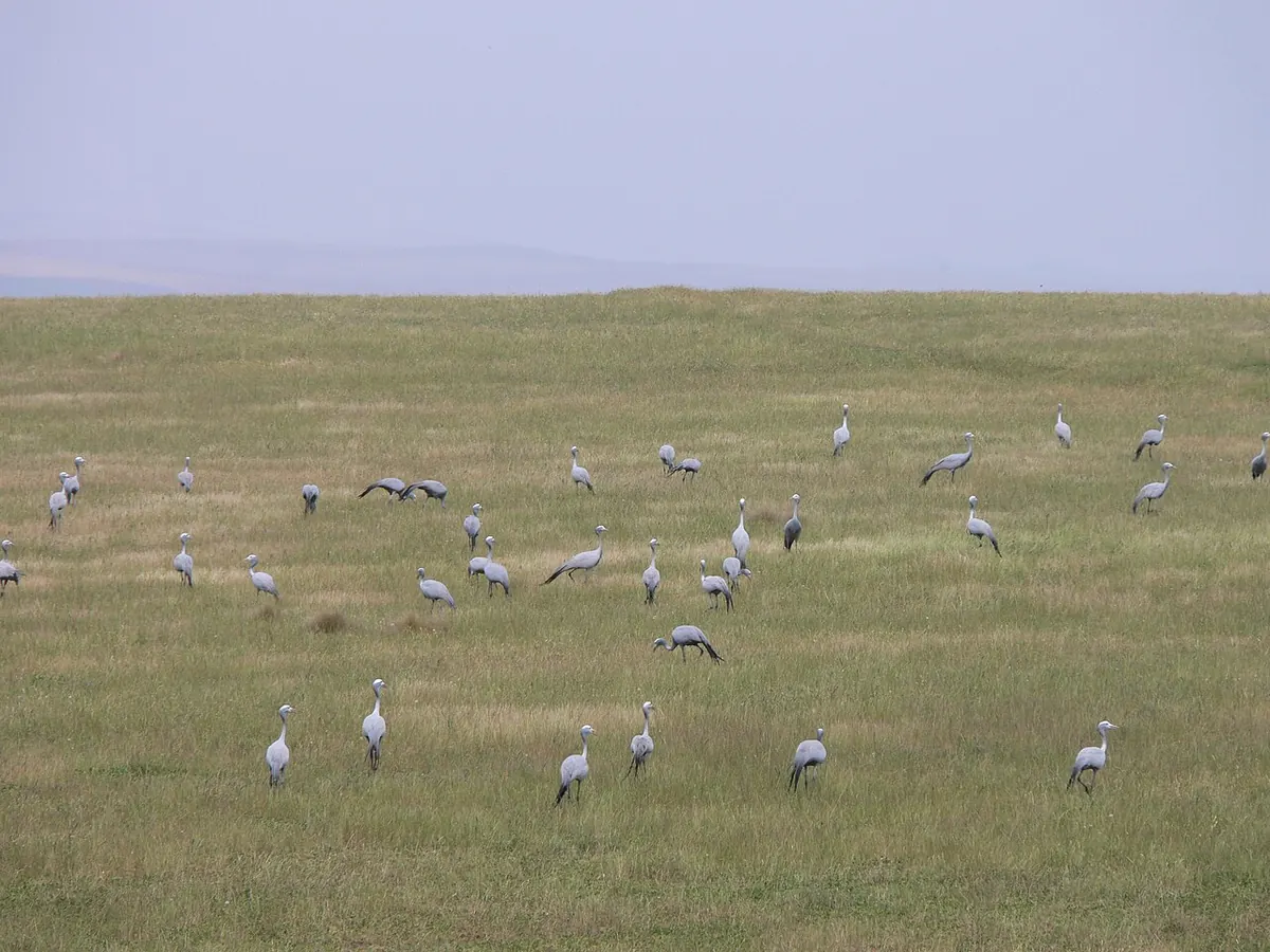
Drive the loops slowly. Bontebok, with their white faces and purple-brown coats, graze in the open and are easy to see, along with Cape mountain zebra, red hartebeest and smaller antelope. There are no big predators, which is why you may walk and cycle freely; leopard and caracal are recorded but you will not meet one. Birding is the quiet strength here, with more than 200 species including blue crane, secretarybird and Denham’s bustard along the river and plains. Some 500 plant species grow in what is one of the last protected pieces of coastal renosterveld.
Marked trails start at the rest camp and include the Aloe Hill, Acacia and Bushbuck walks, with the Bushbuck trail ending at the Die Stroom picnic site on the river. The gravel roads double as mountain bike routes. The Breede River is for swimming in summer (near the camp only), canoeing and kayaking on calm stretches, and angling, for which you need a permit from the local post office.
Good to know
- Lang Elsie’s Kraal rest camp, named after a Khoekhoe leader who lived on this land, has self-catering chalets and a small riverside campsite. Spaces are limited and it books up; reserve ahead.
- A small shop at the camp has basics; buy fresh food in Swellendam.
- Leeches appear in the river and wet grass in the rainy season, which surprises people.
- It pairs well with Marloth Nature Reserve above Swellendam and De Hoop on the coast, and it is a natural leg-stretch on the N2 between Cape Town and the Garden Route.
In and around Bontebok National Park
4 PLACESPlaces to stay 2
- 34.08°S 20.45°ECaravan parkBontebok National Park
- 34.08°S 20.46°ECampsiteLang Elsie's Kraal Rest Camp
Sights 1
- Viewing DeckViewpoint
Hiking trails 1
- Termite LoopHiking trail · 6.1 km