Augrabies Falls National Park
Where the Orange River drops about 56 metres into an 18 km granite gorge in the Northern Cape desert, two hours west of Upington, with quiver trees, klipspringers and brutal summer heat.

What you'll pay to enter Augrabies Falls National Park
VALID 01 NOV 2025 TO 31 OCT 2026 · ZAR PER PERSON PER DAY
| Fee | International | SADC nationals | SA residents |
|---|---|---|---|
| Daily conservation fee | R325child R163 | R149child R74 | R73child R37 |
- Wild Card members do not pay daily conservation fees.
- Child rate applies to ages 2 to 11; the adult rate applies from age 12.
- Set by South African National Parks (SANParks). Adult rate shown first, child rate below. Official tariff
CHECKED 06 OCT 2026 · 5 SOURCES
See every place on this map as a list
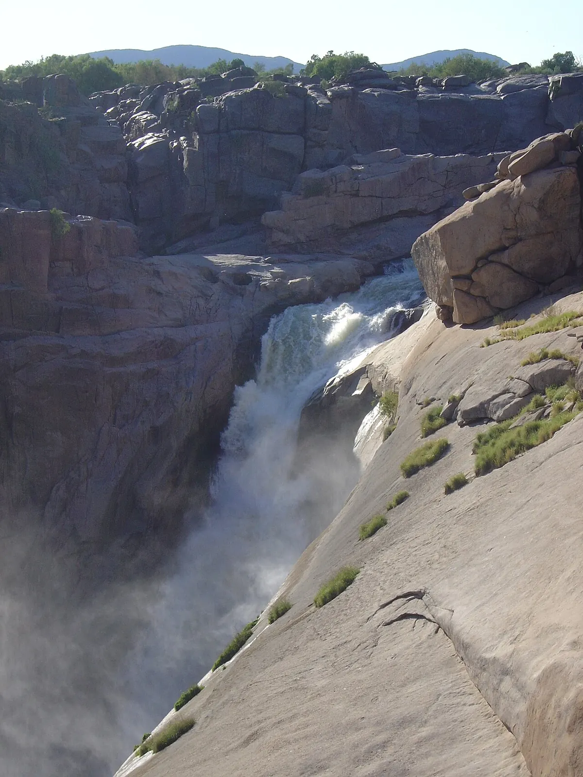
The Khoekhoe called it Ankoerebis, the place of great noise, and that is the whole idea. The Orange River squeezes into a channel and falls about 56 metres into a gorge 240 metres deep that runs for 18 km through bare granite. The park around it, proclaimed in 1966, covers 820 square kilometres of rock, quiver trees and dry riverbed. It is a scenery and walking park rather than a game park.
Getting there
Augrabies is about 120 km west of Upington and 40 km north-west of Kakamas on the R359, which is tarred all the way. Upington has an airport with national flights and hire cars, and from Cape Town it is a long day of ten to eleven hours on the N7 and N14. Inside the park a normal car is fine on the main roads; there is a separate 30 km 4x4 route if you have the vehicle for it.
When to go
April to September is the comfortable window. Days are warm and dry, nights can be frosty, and the quiver trees flower yellow in May and June. The falls carry the most water from February to April after summer rain upstream, but that is also when the heat is at its worst: December maximums average around 36 degrees. In May 2026 the river hit more than 3,000 cubic metres a second, against a normal 30 to 50, and the hiking routes were closed for safety, so check what is open before driving out for a flood.
What to do
A network of boardwalks and viewpoints starts right at the rest camp, so the falls are a five-minute stroll from your door, and they are lit until 22:00. Beyond that, drive the park roads to the lookouts along the gorge and climb Moon Rock, a huge exfoliated granite dome about 700 metres long that gives the best view over the whole park. The Dassie Trail is a half-day loop from camp over the rocks and up Moon Rock. The Klipspringer Trail is a three-day hike along the gorge, open roughly April to mid-October and closed in summer because of the heat.
Game is sparse but interesting: klipspringer on the rocks, Hartmann’s mountain zebra, giraffe, gemsbok, springbok, kudu, eland and the odd leopard you will not see. Birding is good for dry-country species. Rafting trips on the river and hot-air ballooning run from outside the park.
Good to know
The rest camp has a shop, restaurant, fuel and an ATM. Day visitors are admitted from 07:00 with last entry at 17:00. The rocks around the gorge are smooth and the drops are unfenced in places; stay behind the barriers, especially with children. Baboons and vervet monkeys will take any food left out. Watch for scorpions and snakes in the warm months, carry far more water than you think you need, and do not plan a midday walk between November and February. Malaria risk is low to none.
In and around Augrabies Falls National Park
36 PLACESPlaces to stay 3
- 28.56°S 20.27°EMountain hutBerghut
- 28.57°S 20.30°EMountain hutVisarend Trail Hut
- 28.59°S 20.33°ECampsiteAugrabies Falls National Park Campsite
Sights 31
 Augrabies MonsterAttraction
- Pot HolesAttraction
- Arrow PointAttraction
- David & GoliathAttraction
- Manie Maritz se FortMonument
- Namaqua FigAttraction
- Pot HoleAttraction
- Ararat ViewpointViewpoint
- Camel Thorn TreeAttraction
- Dassie KoppieAttraction
- Ebony TreeAttraction
- Echo CornerViewpoint
Hiking trails 2
- Dassie Interpretive TrailHiking trail · 6.6 km
- Klipspringer Hiking TrailHiking trail · 32.7 km