Village · Central District, Botswana
Letlhakane
A diamond mining village of 36,404 people on the tarred A14 and the seat of Boteti sub-district. For travellers it is the fuel and shopping stop before Mmatshumo and the tracks to Kubu Island.
Short answer
Letlhakane is in Central District, Botswana. This page lists 6 places to stay and 1 places to eat and drink. The nearest park with an entry fee on this site is Makgadikgadi Pans National Park, about 129 km away, where international adults pay from P190.
- Places to stay
- 6
- Eat and drink
- 1
- Park fee nearby: Makgadikgadi Pans National Park
- US$14 €13 · P190about 129 km away
- Where
- Central District, Botswana21.42°S 25.59°E
In and around Letlhakane
7 places listedWhere to stay in Letlhakane 6
- 21.39°S 25.59°EHotelMikelele MotelLetlhakane
- 21.41°S 25.58°EGuest houseRockofe Guest House
- 21.43°S 25.58°EHotelBoteti Hotel
- 21.42°S 25.59°EGuest houseGranny's Lodge
- 21.42°S 25.59°EGuest houseMahube Lodge
- 21.43°S 25.58°EGuest houseThe Curve Guest House
Bars and pubs 1
- Pop innBar
Letlhakane is a mining village in Central District and the seat of Boteti sub-district, sitting at 997 m to the south of Sua Pan. Village is the official word, but the 2022 census counted 36,404 people, up from 22,911 in 2011, and diamonds are the reason. Four mines lie within about 20 km. Self-drivers stop because it is the last proper place to fill up and shop before the tracks to Kubu Island.
Getting there
The A14 is the road that matters. It runs 248 km from the A1 at Palapye, past Serowe and Khama Rhino Sanctuary, to Letlhakane and on to Orapa, where it meets the A30 from Francistown. OpenStreetMap has it as tar all the way. From Khama Rhino Sanctuary, a Gaborone regular on the 4x4 Community forum put the drive at about 220 km and three hours with a fuel stop. Coming from Francistown, the Letlhakane mine is about 190 km west of the city.
North of the village a tarred road goes to Mmatshumo. The tar stops there.
When to go
April to October is dry, and winter runs from early May to late August. That is when to come if Kubu is the plan, because the pans are hard and dry for most of the year and hold water after the rains. The Gaing O Community Trust, which runs the island, has a notice on its site saying it has reopened after this season’s rains, so look there before you drive up in summer.
What to do
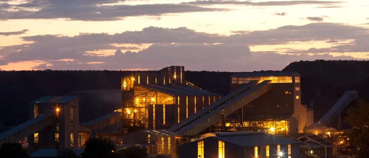
In the village, not much beyond errands. The mines are the story, even if they are workplaces and not sights. Orapa has been working since July 1971 and Debswana’s Letlhakane mine since 1975. Letlhakane stopped open pit mining in 2017 and now reprocesses its old tailings. Karowe, owned by the Canadian company Lucara and commissioned in 2012, is the one that makes headlines: the 1,109 carat Lesedi La Rona came out of it in 2015, the 1,758 carat Sewelô in 2019 and a 2,492 carat stone in August 2024.
Kubu Island is why most visitors are here. It is a granite outcrop in Sua Pan, a national monument with baobabs, old stone cairns and a dry stone wall, known locally as Lekhubu. The trust that looks after it has its office in Mmatshumo. From the end of the tar, drivers on the 4x4 forum (posting in 2011) allowed about two hours of bush track to the island and warned that the tracks keep splitting, so load a GPS route.
Good to know
OpenStreetMap shows five fuel stations here (Engen, Shell, Puma and Caltex among them), a Choppies supermarket, Teemane Mall and a primary hospital, plus a couple of hotels and a handful of guest houses. Fill the tank and buy water and food here. Mmatshumo is a village of 1,719 people, so do not count on stocking up there.
Boteti is on the CDC’s list of malaria transmission areas in Botswana, and the CDC recommends tablets for those areas. Speak to a travel clinic before you leave home.
Map of Letlhakane
See every place on this map as a list