Town · Otjozondjupa, Namibia
Otavi
Railway and maize town where the B1 meets the B8, a fuel stop on the way to Etosha, with the spot where German rule ended in 1915 just north of town.
Short answer
Otavi is in Otjozondjupa, Namibia. This page lists 5 places to stay and 2 places to eat and drink. The nearest park with an entry fee on this site is Waterberg Plateau Park, about 87 km away, where international adults pay from N$280.
- Places to stay
- 5
- Eat and drink
- 2
- Park fee nearby: Waterberg Plateau Park
- US$17 €15 · N$280about 87 km away
- Where
- Otjozondjupa, Namibia19.64°S 17.34°E
In and around Otavi
7 places listedWhere to stay in Otavi 5
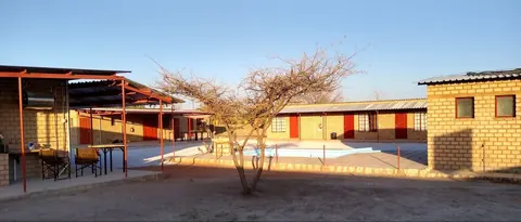
- 19.66°S 17.33°EHotelKhorab Safari LodgeOtavikhorablodge.com
- 19.60°S 17.41°EChaletZum Potjie RestcampOtavizumpotjie.com
- 19.64°S 17.46°ECampsiteOtavi Vineyard Restcamp+264 81 041 6083
- 19.55°S 17.31°EHotelGabus Safari Lodge+264 67 234 291gabusnamibia.com
Restaurants and cafes 2
- Camel InnRestaurant · Otavi
- Thonningii Wine CellarRestaurant+264 81 217 0406
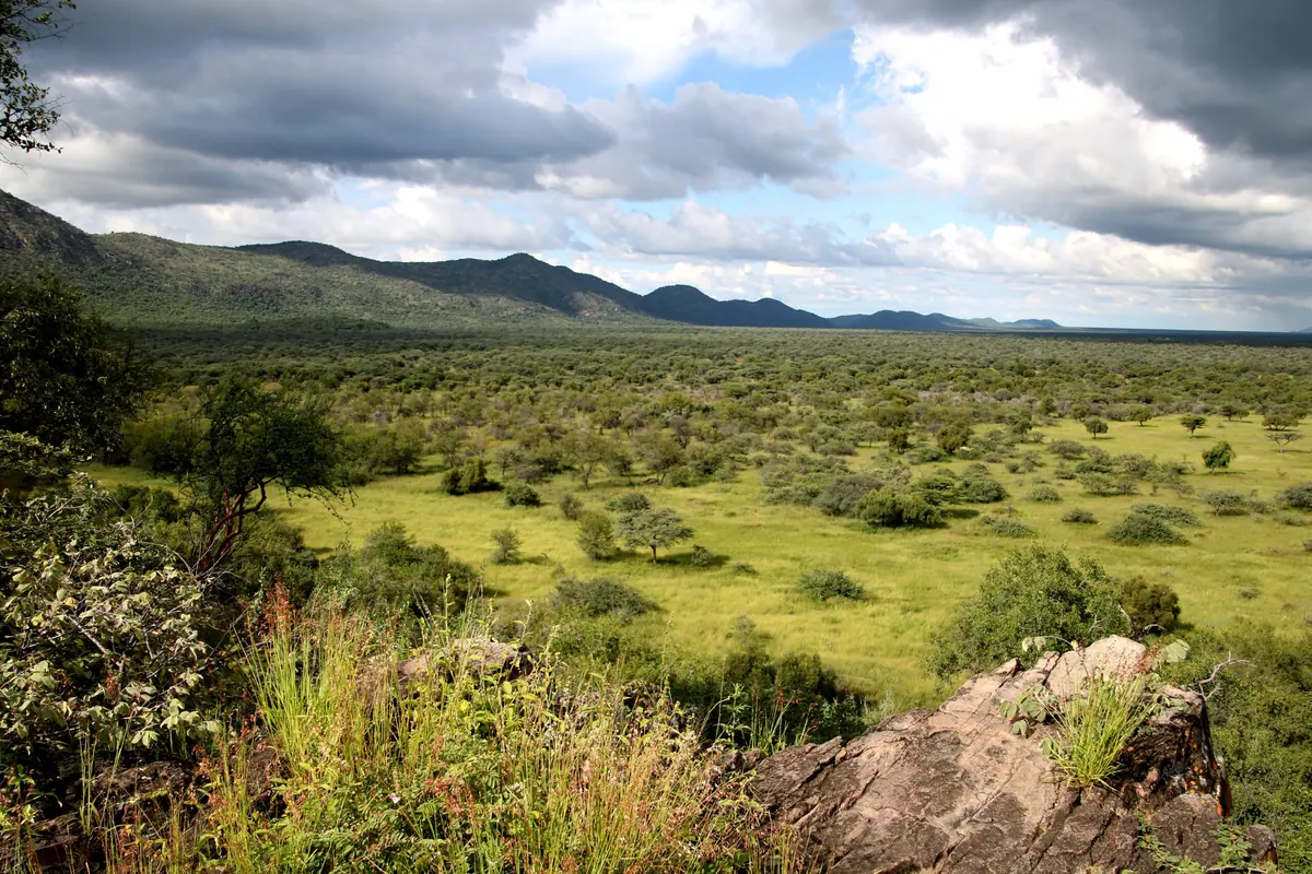
Otavi is a railway and farming town of about 10,800 people (2023 census) where the B1 from Windhoek meets the B8 heading east. It sits at the south-western corner of the Otavi Triangle, the well watered maize country it shares with Tsumeb and Grootfontein. Most travellers only stop for fuel on the way to Etosha. The ones who linger come for a quiet spot just north of town, where German rule in South West Africa formally ended in July 1915.
Getting there
Otavi is about 360 km north of Windhoek on the tarred B1, through Okahandja and Otjiwarongo. Tsumeb is roughly 60 km further up the same road, and from there Namibia Wildlife Resorts puts Namutoni camp in Etosha at 110 km. The B8 leaves town for Grootfontein, Rundu and Katima Mulilo, and the C39 runs west to Outjo and Khorixas. The big coaches between Windhoek and Lusaka run through Otavi, and minibuses link it with the other towns.
When to go
The Otavi Mountains get some of the highest rainfall in the country, somewhere between 520 mm and a bit over 600 mm a year depending on which figure you trust, and nearly all of it falls between November and April. Grootfontein, the nearest long weather record, has its wettest months from January to March and an almost dry winter, with July nights averaging under 7°C. Come in summer for green hills, or May to September for dry roads and cold mornings.
What to do
The Khorab Memorial is about 3 km north of town near the railway, at the spot called Kilometre 500 (counted from Swakopmund). On 9 July 1915 the German governor Theodor Seitz and the Schutztruppe commander Victor Franke signed their surrender to Louis Botha’s South African force here. The last battle of the campaign had been fought on 1 July, between Otavi mountain and Otavifontein. Don’t expect much at the site: the memorial is a plain stone shaped like a gravestone, put up in 1973, and one visitor who went looking found it overgrown with the old tree reduced to a stump.
Elefantenberg (Elephant Mountain) rises about 7 km south of town, and Khorab Safari Lodge is on the farm around it. A few kilometres east on the B8 two family farms, Thonningii and Otavi Vineyards, grow wine, which is rare in a country this dry. In 2020 a Boshoff Family Wines blend won gold at the Michelangelo International Wine and Spirits Awards.
Good to know
Otjozondjupa is one of the regions where the CDC lists malaria and recommends tablets, so talk to your doctor before you travel. Fuel is easy here, with Shell, Total and Namcor stations, a supermarket and bank machines in town, and Namutoni has fuel inside Etosha. Off the tar, the D-roads in this region can be sandy and badly corrugated and get worse after rain, so phone your host about conditions. The land around town is private farmland: don’t drive up a farm road unless your stop is signposted there, and close any gate you open.
History and culture
Otavi grew up around a spring and then around a railway. A Berlin mining company laid its line from the coast past here to the Tsumeb copper mines in the same years as the war against the Herero and Nama, and in July 1915 the German colonial army surrendered beside that track just north of town. Today Khoekhoegowab (the Damara and Nama language) and the Oshiwambo languages are the main home languages around Otavi, in the middle of Namibia's maize country.
- Before 1900
The town takes its name from a spring nearby. One explanation traces the word to Oshiwambo, where tava describes the movements of a baby being born. source
- 6 April 1900
The Otavi Mining and Railway Company (Otavi Minen- und Eisenbahn-Gesellschaft, OMEG) was founded in Berlin, with the Disconto-Gesellschaft bank and the South West Africa Company as its main shareholders. It went on to build a railway from the coast to the copper mines at Tsumeb. source
- 1903 to 1908
Work on the 567 km narrow gauge line from Swakopmund to Tsumeb started in October 1903 and the whole line opened on 12 November 1906, passing Otavi at kilometre 497. Building was held up by the Herero and Nama uprising. In 1907 and 1908 the South West Africa Company added a 91.3 km branch from Otavi to Grootfontein, built in only nine months, which made Otavi the railway junction it still is. source
- 1904 to 1908
The Herero rose against German rule on 12 January 1904 and the Nama followed in September 1904. In the war and the camps that followed, as many as 80,000 Herero (80 percent of the people) and 10,000 Nama (half) died. Prisoners in the camps were forced to build roads, railways and harbours. Germany acknowledged in 2015 that this was genocide. source
- 1 to 9 July 1915
In the First World War South African troops under Louis Botha pushed north through the territory. On 1 July about 800 Germans fought 8,000 South Africans at Otavifontein, and a last skirmish followed at Ghaub on 4 July. On 9 July the Schutztruppe (the German colonial army) surrendered near Khorab, at the point 500 km up the line from Swakopmund, and German rule in the territory was over. source
- 1915 to 1919
Under the surrender terms the non-commissioned officers, troops and police were to be held as prisoners until the end of the war. 1,552 German prisoners were kept in a camp at Aus in the south, which closed on 13 May 1919. source
- 1920 to 1990
After the war the League of Nations gave South Africa a mandate to run the territory. In 1962 the Odendaal commission set out to bring South Africa's apartheid homeland system to Namibia, and in October 1966 the UN General Assembly ended the mandate, but South African rule and the liberation war led by SWAPO went on until independence on 21 March 1990. source
- Since 2004
Money troubles cost Otavi its town status in 2004, but it was restored in November 2010, around the time the Ohorongo cement works and the Otjikoto gold mine brought new jobs. SWAPO won the town council elections of 2015 and 2020, and the population roughly doubled between the 2011 and 2023 censuses. source
- Languages
- In the 2023 census the main home language in 37.6% of households in the Otavi constituency was Khoekhoegowab, the Damara and Nama language with its click sounds, and in 21.1% Oshikwanyama, an Oshiwambo language from the north. English, Rukwangali, Afrikaans and Oshindonga each came to between 5.6% and 5.7%, and Otjiherero to 4.3%. source
- Maize country
- The Otavi Triangle between Otavi, Tsumeb and Grootfontein is known as the maize triangle, an area with above-average rain and a name for its farms. Namib Mills has a factory in Otavi and is one of the town's biggest employers. source
- Wine
- Bertus Boshoff began planting vines in the Otavi Mountains in 1998, among them Shiraz, Viognier, Cabernet Sauvignon and Pinotage, and sells the wine as Thonningii. Otavi Vineyards next door followed in 2004. In 2020 a Boshoff Family Wines blend, the Red Catholic 2019, won a gold medal at the Michelangelo International Wine and Spirits Awards. source
For German visitors: The surrender at Khorab on 9 July 1915 ended German colonial rule in South West Africa. Besides Governor Theodor Seitz and Victor Franke, the German signatories included the police commander Heinrich von Bethe, and Seitz was helped in the talks by Hans Graf von Schwerin-Löwitz. source
For German visitors: The town gave its name to the Otavi Minen- und Eisenbahn-Gesellschaft of Berlin, which built the railway from Swakopmund to Tsumeb. The company still exists, now part of the Greek S&B group, where it handles perlite. source
For German visitors: The Deutsche Privatschule Otavi is the smallest German language school in Namibia, with 18 pupils. source
For German visitors: The Ohorongo cement works on the farm Sargberg near Otavi was at first wholly owned by the German firm Schwenk Zement. It started production in December 2010, and in 2019 Schwenk still owned about 70 percent of it. source
Main sights in Otavi
4- Khorab Memorial
A stone shaped like a gravestone about 3 km north of town, close to the railway, marking where the German forces surrendered on 9 July 1915. The wild syringa tree that shaded the signing table is now little more than a stump and the site is overgrown, so it is a stop for the history, not the view.
Travel News Namibia: the first German surrender of World War I - Elefantenberg
A mountain in the Otavi Mountains, 1,689 m high by one measure and 1,624 m by another, remembered as a place of retreat during the First World War fighting here. The tree Moringa ovalifolia grows on its northern and western slopes, and Khorab Safari Lodge is on the farm around it.
Wikipedia (German): Elefantenberg - Gaub Cave
A cave system more than 2.5 km long and up to 38 m deep on the farm Ghaub, in the Otavi Mountains on the Tsumeb side, just over the regional boundary in Oshikoto. It makes a day trip from Otavi rather than a stop in town. The San and Damara who live nearby credit its discovery to the missionary Heinrich Vedder, and the farm's records put it around 1913. It has been a national monument since 1 May 1967 and is open to visitors; ask the farm ahead.
Wikipedia (German): Gaub-Höhle - Lake Otjikoto
A lake in the Oshikoto region, formed when the roof of a cave fell in. It lies beside the B1 past Tsumeb, so it is a day trip from Otavi, not a sight in town. It belongs to the end of the 1915 story, because the Schutztruppe dumped its weapons here; two of the recovered field guns stood for years outside the Tintenpalast in Windhoek and others are in the Tsumeb Museum. A national monument since 1972.
National Heritage Council of Namibia: Otjikoto Lake
Did you know?
- Part of a jawbone found at the Berg Aukas mines in the foothills of the Otavi Mountains belonged to Otavipithecus, an ape that lived about 13 million years ago. When it was described in 1992 it was the only fossil ape from southern Africa that was not a hominin. source
- Cavers call the Otavi Triangle the cave triangle, since about half of Namibia's known caves are inside it. One of them, Dragon's Breath, holds an underground lake larger than the Lost Sea in Tennessee. source
- When the Schutztruppe surrendered in 1915 it threw its guns into Lake Otjikoto, according to one account 30 cannons and 400 to 500 boxes of ammunition. They lay only about 3 m down on a rock, so the South Africans recovered them easily. source
- The Kombat copper mine on the B8 east of Otavi is the type locality, the place a mineral was first described from, for 14 minerals, among them hereroite and damaraite. source
- Otavi's town motto is Afrikaans, Volhard en Oorwin, which means persevere and overcome. source
Checked 10 October 2026.
Map of Otavi
See every place on this map as a list