District · Botswana
North-West District
Ngamiland, Botswana's north-west: Maun and the Okavango Delta, the Panhandle fishing camps up to Shakawe, Tsodilo's rock art, Lake Ngami and the remote Gcwihaba Caves.
Short answer
This page covers 5 parks and reserves and 6 towns and cities in North-West District. 2 of the parks have checked entry fees: international adults pay from P190 at Nxai Pan National Park to P270 at Moremi Game Reserve.
- Parks and reserves
- 5
- Towns and cities
- 6
- Places to stay
- 53
- Where
- Botswana19.51°S 23.00°E
Parks and reserves in North-West District
5Towns and cities in North-West District
6Written up in smaller places around North-West District
2
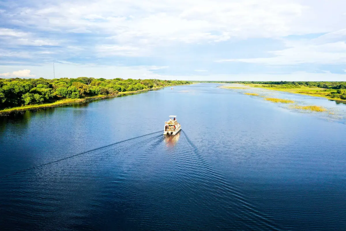
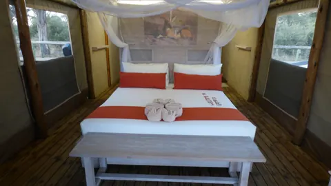
North-West District is the official name. Everyone calls it Ngamiland. It covers 109,130 km² of Botswana’s top left corner, with just under 200,000 people at the 2022 census, and about 85,000 of them live in Maun. The Okavango Delta sits in the middle of it, a World Heritage Site since 2014. Most visitors fly into Maun, the Batawana capital since 1915, go straight to a delta camp and fly out again, which leaves the Panhandle and the Kalahari beyond it to the few who drive.
Getting there
Maun’s airport has direct flights from Johannesburg, Cape Town and Gaborone, and it is where the light aircraft leave for the delta camps. By road the A3 comes in from Nata, about 300 km of tar to the east, and carries on south-west towards Ghanzi.
At Sehithwa, beside Lake Ngami, the A35 turns north and runs 296 km up the west side of the delta through Tsau, Nokaneng, Gumare and Shakawe to the Mohembo border with Namibia. It is tar in name. The government admits the stretch north of Nokaneng is in a bad state, and in February 2026 the Gumare to Sepopa section was being built half a width at a time, with traffic on gravel bypasses. The minister conceded that parts become impassable in the rains. Buses from Maun take five to six hours to Shakawe.
When to go
The dry months, May to October, are the ones for game. June to August mornings in Maun are freezing, so pack layers. Panhandle fishing is at its best then too, and September’s barbel run is what pulls in the big tigerfish. Lake Ngami is a lottery. It fills from the delta in good flood years, spread to about 240 km² in 2011, and has dried out completely more than once.
What to do
Moremi, Nxai Pan, Tsodilo and the delta concessions have their own pages. What they leave out is the Panhandle, the stretch where the Okavango is still one deep river between papyrus banks. The camps around Shakawe and Nxamaseri are fishing and birding places first, with African skimmer and Pel’s fishing owl on the list. North of Shakawe the 1.2 km Okavango River Bridge at Mohembo, opened in 2022 with pylons shaped like elephant tusks, replaced the old ferry. From it a rough dirt road runs down the east bank to Seronga.
Lake Ngami, which Livingstone reached in 1849, draws pelicans and flamingos when it has water. Far out west, 10 km from the Namibian border, the Gcwihaba Caves (also called Drotsky’s) are a national monument with a campsite and gatehouse opened in 2014. Go in with a local guide.
Good to know
The CDC lists both Ngamiland and Okavango as malaria areas and recommends tablets. British advice rates the risk high from October to May.
Away from the tar this is sand country. Moremi is thick sand from the gate, and regulars let their tyres down and travel in pairs. For the far west the UK Foreign Office advice for remote areas applies: spare fuel and water, and a second vehicle or a satellite phone. Shakawe has fuel and a Choppies supermarket, so fill up there before Tsodilo or the east bank. Livestock and wildlife stray onto the tar, and the government counts stray animals among the causes of A35 accidents, so do not drive after dark.
Park fees are in the tables on the Moremi and Nxai Pan pages.
In and around North-West District
80 places listedWhere to stay in North-West District 53
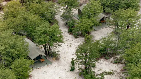
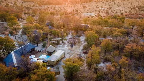
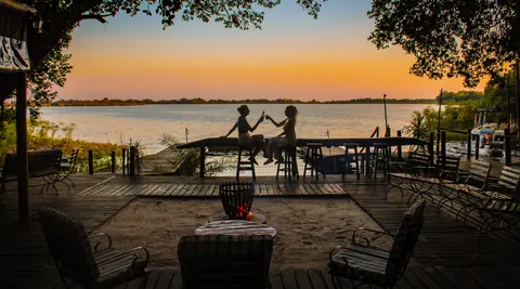
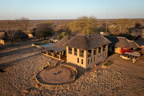
- 20.95°S 23.68°EHotelEvolve Back Gham Dhao Lodge+267 683 0238evolveback.com
- 20.17°S 24.17°EHotelLeopard Plains+267 73 481 590leopardplains.com
- 19.67°S 23.69°ECampsiteLosika Elephant Camp+267 686 1713afritourismcollection.com
Show all 53 places to stay
- Mopiri Camp · Hotel+267 680 0021rootsandjourneys.com
- Mowana Veterinary Gate · Campsite
- 5 Ways · Caravan park
- Blinkblaar pan · Caravan park
- blouwildebees pan · Caravan park
- boorgat in leegte · Caravan park
- Botshelo · Wilderness hut
- Brakah Camp Site · Campsite
- Deception Valley Lodge · Mountain hut
- Dimbo Camp Site · Campsite
- Giraffe Carcass · Caravan park
- Hardegat · Caravan park
- John Shorobe entrance · Campsite
- kaalgat pan · Caravan park
- kort airstrip · Caravan park
- lang airstrip · Caravan park
- leegte pad · Caravan park
- long Loop · Caravan park
- Lycaon Pan · Caravan park
- Mankwe Mopani Camp · Campsite
- Manner · Guest house
- Mawana Campsite · Campsite
- Mochba Crossing Lodge · Hotel
- modder pan · Caravan park
- Mopiri · Campsite
- Nguma Island · Campsite
- Ngwega Dizana · Campsite
- nuwe boesman kamp · Caravan park
- pere pan · Caravan park
- pyp lyn · Caravan park
- Raintree Campsite · Campsite
- Semowi Nature Camp · Hotel
- skyns paatjie · Caravan park
- Smoe Lodge · Hotel
- staff camp · Guest house
- Toti · Caravan park
- toti pad · Caravan park
- toti pan (birdhide) · Caravan park
- under construction · Campsite
- vars water boorgat · Caravan park
- Vars water Hek · Caravan park
- viewpoint · Caravan park
- weddings pot · Caravan park
- Xalaps · Caravan park
Sights 27
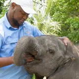
- !Kung Bushman VillageAttraction
- Blinkblaar WaterholeViewpoint
- CKGR PanViewpoint
- drotsky's cavesAttraction
- Gcwihaba CavesAttraction
- Haina PanViewpoint
- Hardegat WaterholeViewpoint
- Kgetsi Ya Tsie FarmAttraction
- Kudu Bush WaterholeViewpoint
- lack PanViewpoint
- lagoon 1 ExitAttraction
Show all 27 sights
- lagoon 2 Entry · Attraction
- lagoon 2 exit · Attraction
- leopard Pan · Viewpoint
- M&G Farms · Viewpoint
- Makwena Lagoon · Attraction
- Middle Pan · Viewpoint
- Mokoro trip · Attraction
- Mokoro trip · Attraction
- Mokoro trip · Attraction
- Mokoro trip · Attraction
- Mokoro trip · Attraction
- Nature walk · Attraction
- Scoregat · Viewpoint
- Tolankwe Conservancy · Attraction
- Weboro Lagoon · Attraction
Map of North-West District
See every place on this map as a list